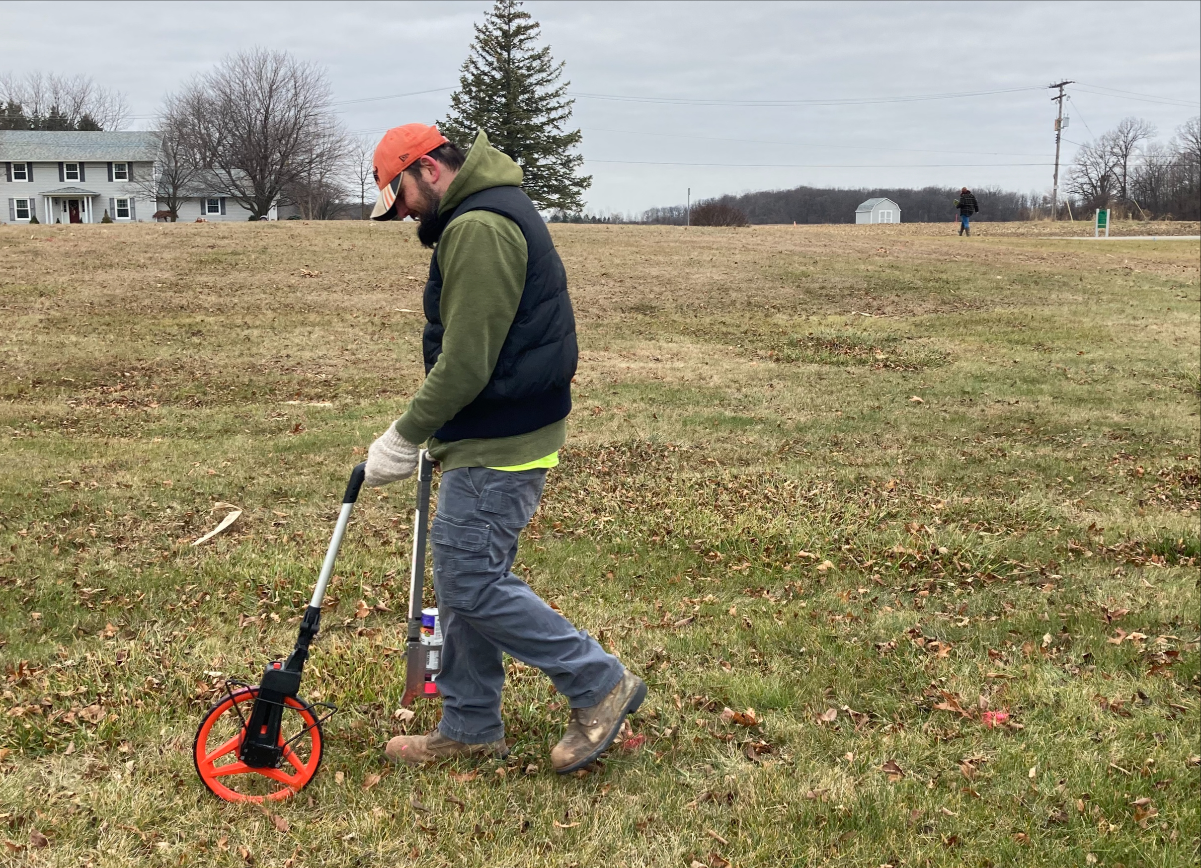
Archaeologists from The Mannik & Smith Group were performing GPR (ground-penetrating radar) work at the Potter’s Field in front of the college’s campus on Monday.
The Potter’s Field is a historical site on Monroe County Community College property where “people without means were interred in unmarked graves” from the mid-1800s to the 1940s, according to the Monroe County Historical Society landmark posted at the location.
“The reason we’re out here doing the GPR in the cemetery is to figure out where the actual boundaries of the cemetery are,” Julia Joblinski, MCCC alumni and archaeological laboratory director at The Mannik & Smith Group, said. “We have the boundaries of the cemetery plotted on historical maps, but just through experience in this field, we know that those boundaries are probably not accurate, especially considering there’s at least two hundred people buried here.”
Mike Schinke, a member of Mannik & Smith’s geoenvironmental and civil engineering group, explained the process of using GPR for this project.
“It’s sending radio waves into the ground,” Schinke said. “If it hits something metal, it’s gonna reflect off the metal, or if it hits something plastic, or something full of air, the signal changes.”
The reason for the surveying is because of construction plans to build a trail through the property.
“The county wants to build a bike and pedestrian trail that cuts through part of the cemetery,” Joblinski said. “We want to make sure that they’re not about to lay concrete, or any kind of trail, on top of somebody’s burial. Our goal is to just figure out where these caskets can be, really.”